Skip to content
D-14 FB Area Karachi Pakistan
info@geotech.pk
+922134821030
Follow Us
Icon-mail
Phone-alt
Home
About us
Our Products
Contact us
Home
About us
Our Products
Contact us
get free quote
Our Products
Home
Our Products
Our PRoducts
High-quality solutions for every need
Contact Now
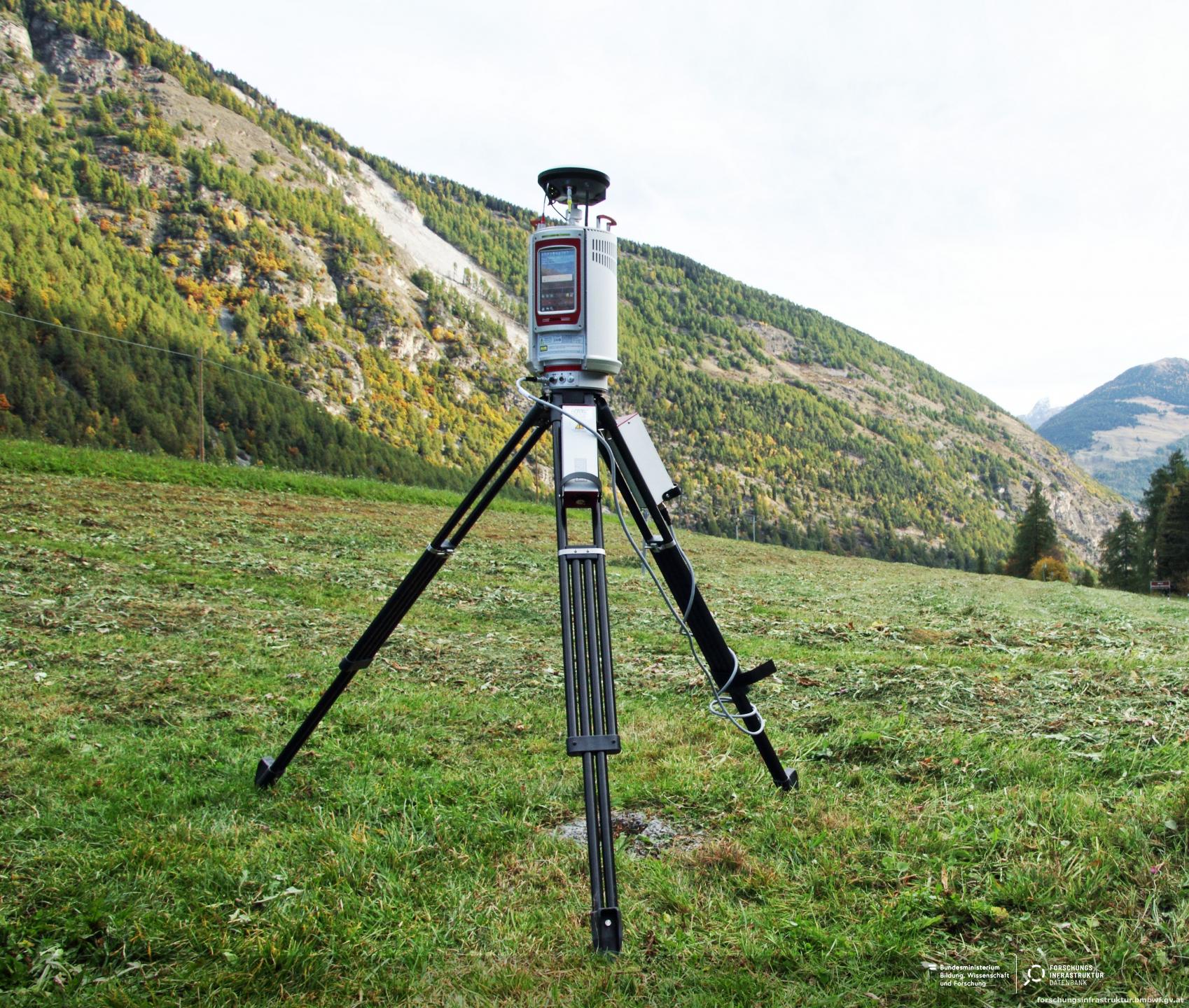
RIEGL Terrestrial Laser Scanning
RIEGL scanners deliver detailed and accurate 3D data quickly, ideal for Topography, Mining, Architecture, and Civil Engineering applications.
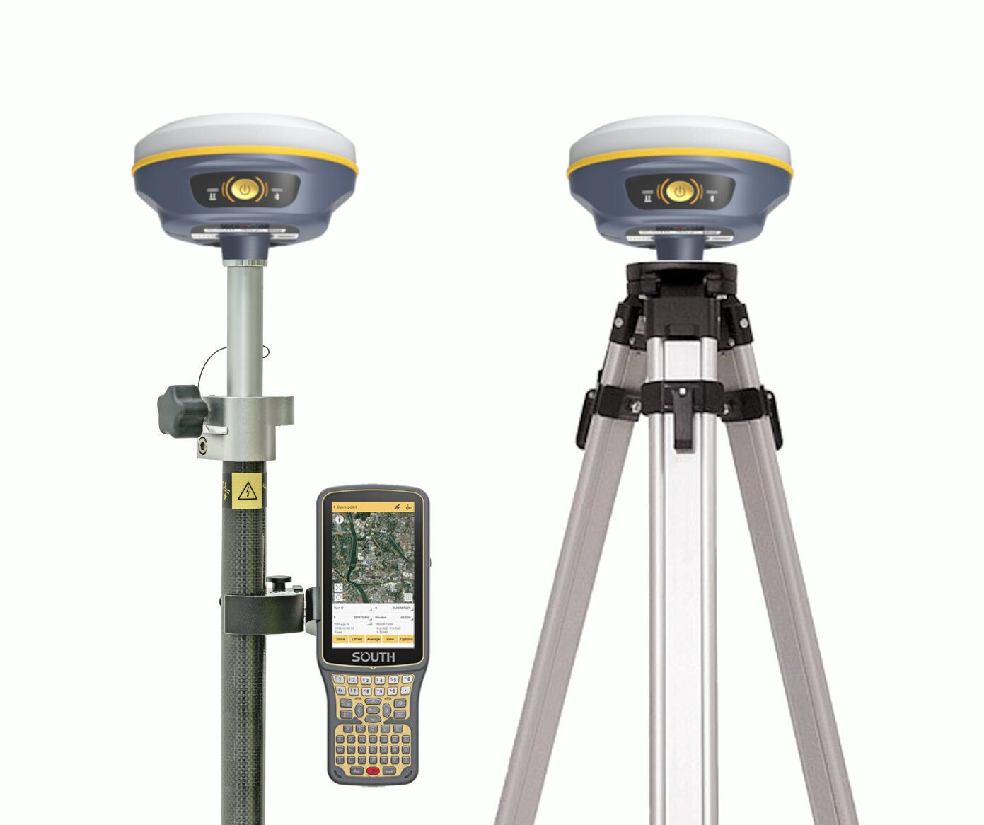
Harxon Survey GNSS
Harxon's high-accuracy GNSS solutions provide centimeter-level precision with RTK or PPP technology, enhancing the efficiency of surveying tasks.
TechnoAc Underground Pipe Locators
Identify both metallic and non-metal pipes up to 5 meters deep with in-built GPS for accurate positioning and data upload.
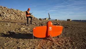
WingtraOne Mapping Drone
The WingtraOne drone provides fast, accurate surveying data with unmatched efficiency and reliability for better project outcomes.
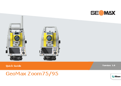
Zoom75 Series – Robotic Total Station
The robotic total station solution that makes it easy to start digitising your construction site.
Take Your Projects to the Next Level
Get Started
Contact Us